Classroom Activities: Place Surveys and Urban Planning Games

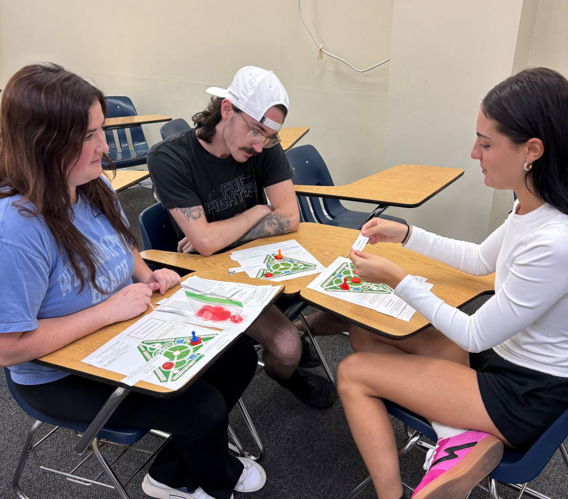
Active and experiential learning is a cornerstone of contemporary education. Critical thinking is based on experience analyzing and drawing sound conclusions from primary materials. Games help students learn concepts and relationships through play and group discussion. I have designed three board games for my classes and have presented on this pedagogic technique to my colleagues. Lightning Presentations on self-selected course "case studies" help students learn public speaking skills and help fellow students build analytical connections. Group work like debates and group presentations teach students the importance of delegating tasks, maintaining a project platform, and grounding arguments in evidence.
Geopolitics and Political Geography
Contested Borders between Security and Migration
World Regional Geography
Cultural Geography
Urban Geography in Global Context
Cities and Global Connections
Foundations in International Studies
Global China and the Belt and Road Initiative
Geography of Contemporary China
GIS Mapmaking for the Social Sciences
Global Energy Transitions
Rivers and Mountains: Social and Environmental Geographies


Best AI Website Maker